

Intertidal Surveys

Dynamic Ocean Consulting provides professional intertidal survey services to assess, monitor, and understand coastal ecosystems across Canada. Our marine biologists and field technicians combine traditional field techniques, innovative technology, and scientific best practices to deliver reliable, defensible data that supports environmental assessments, research programs, and conservation initiatives.
Purpose of Intertidal Surveys
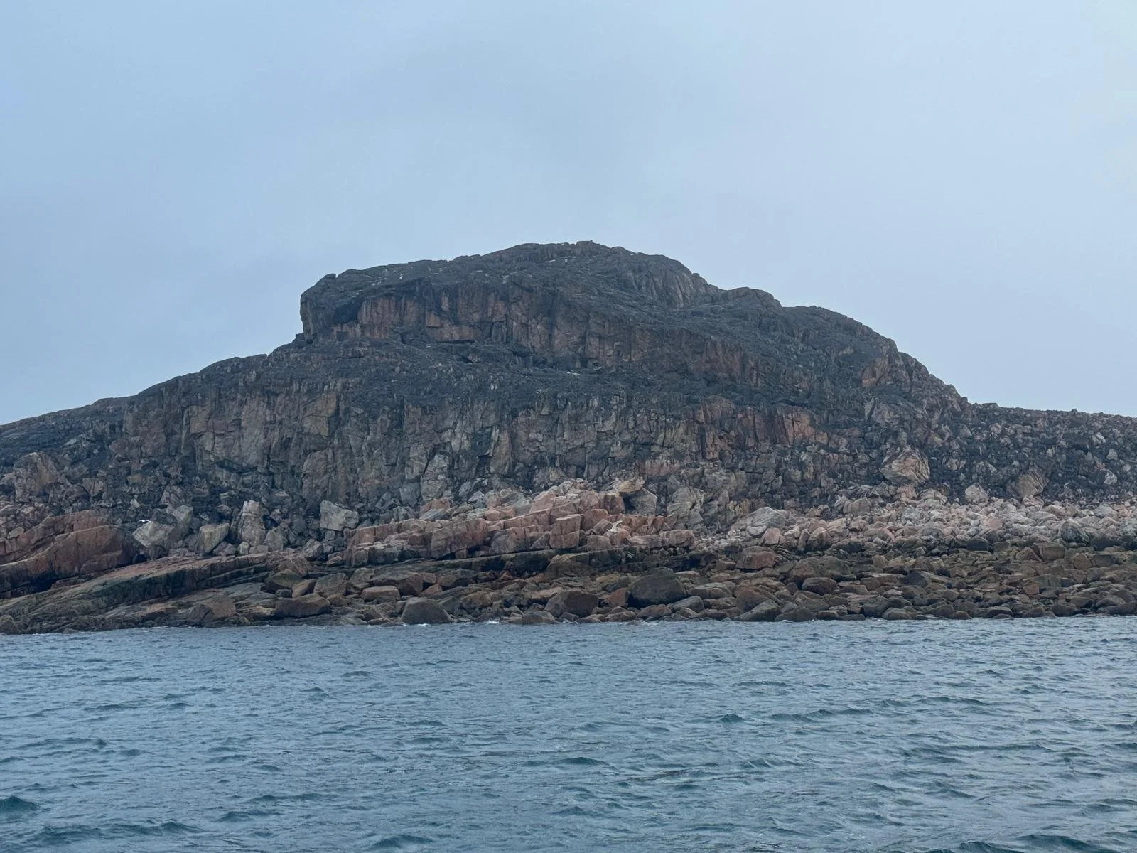
Intertidal surveys are essential for evaluating the health and biodiversity of coastal habitats. These surveys focus on the area between high and low tide — one of the most biologically productive and environmentally dynamic zones on Earth.
The data collected supports:
Habitat characterization and ecosystem health assessments
Species diversity inventories and biological monitoring
Impact evaluations from coastal development or climate change
Conservation and restoration planning
By integrating biological and physical measurements, intertidal surveys help to inform management decisions and guide sustainable coastal development.


Methodologies and Approach
Dynamic Ocean employs standardized scientific methodologies to ensure data accuracy and comparability across sites. Our approach includes both qualitative and quantitative assessments, tailored to the specific objectives of each project.
Our methods include:
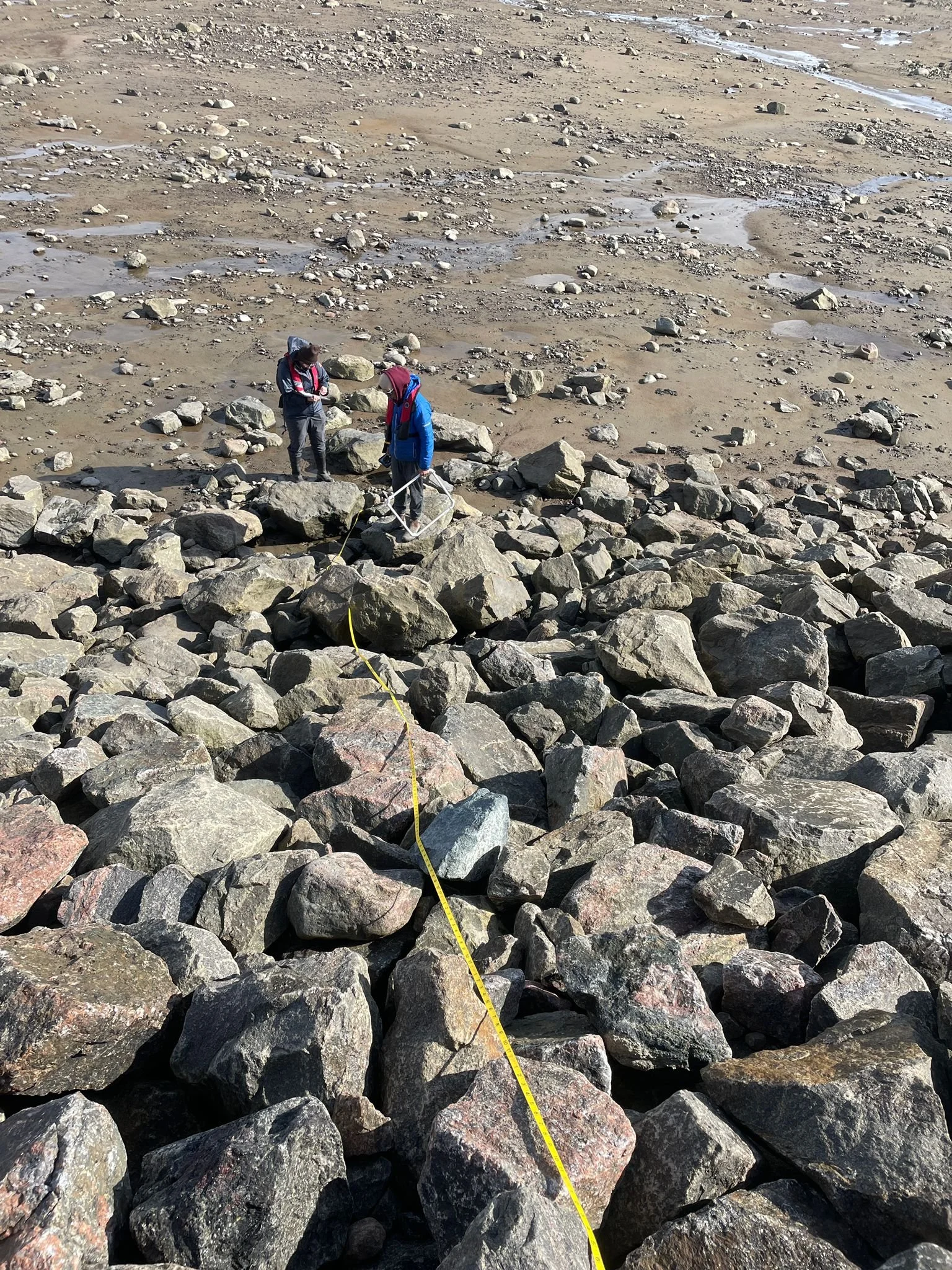
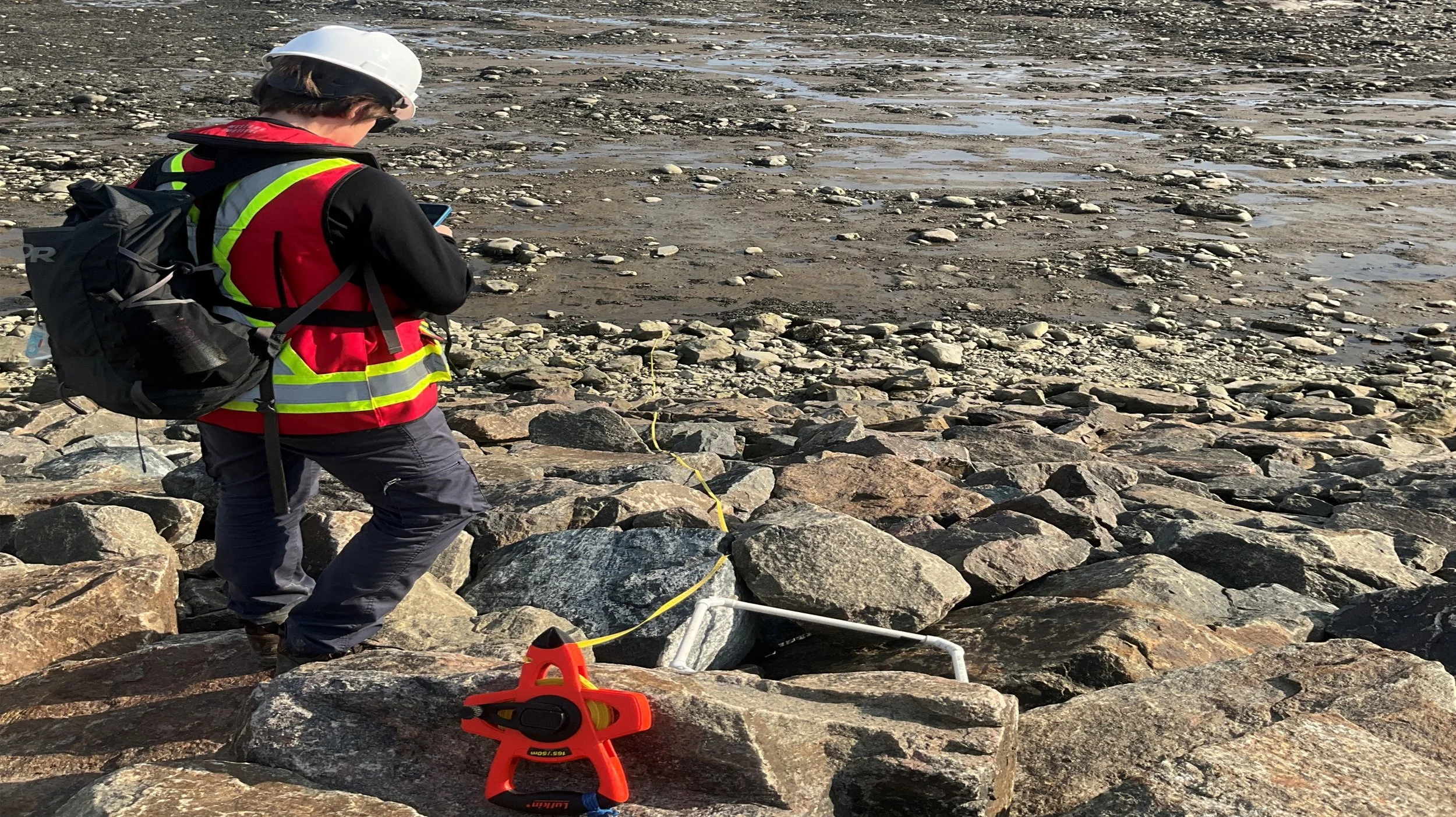
Quadrat and transect sampling to document species abundance, biomass, and distribution
Photographic and video documentation for visual verification and long-term comparison
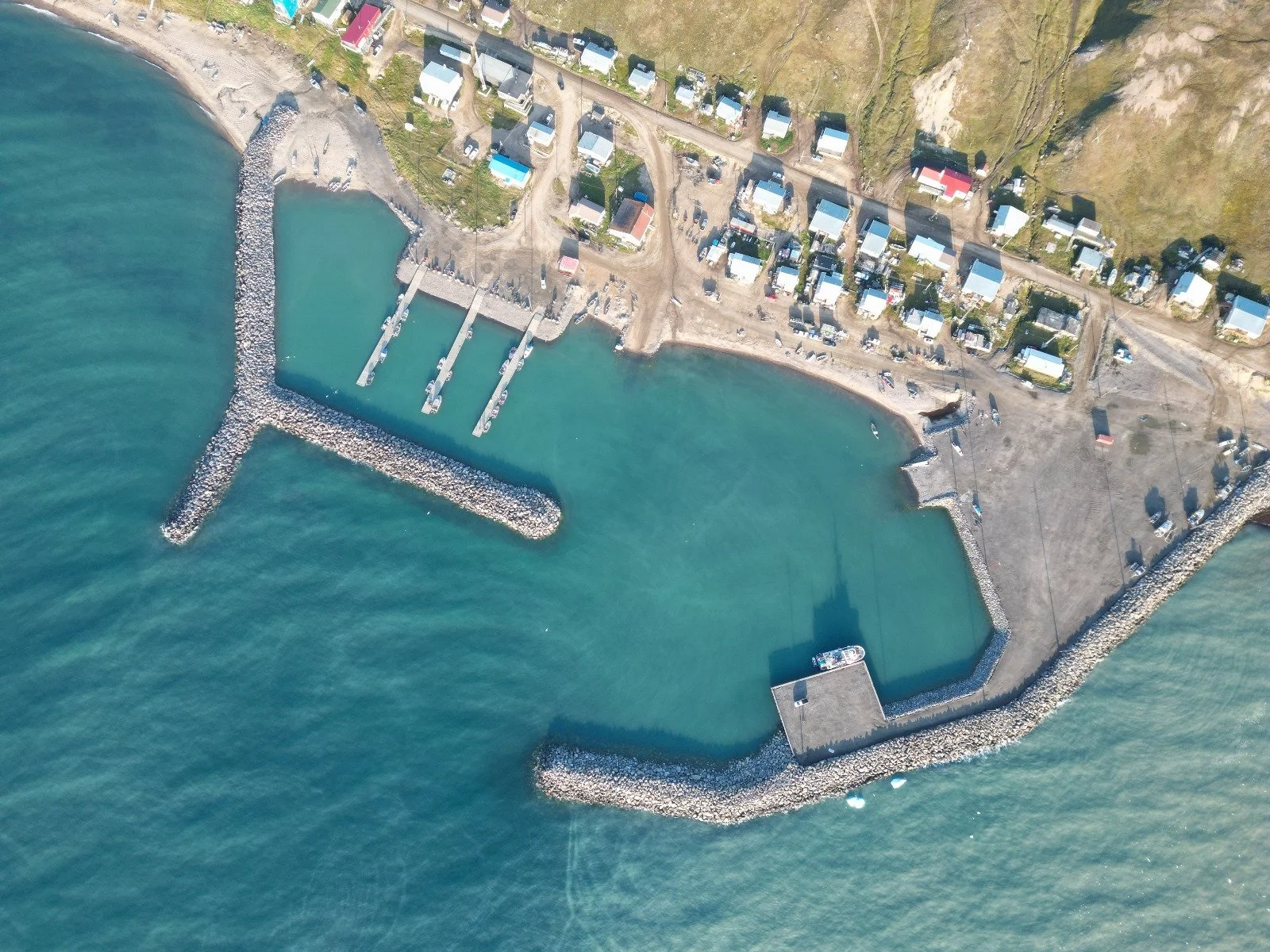
Drone-supported aerial imagery for mapping and spatial analysis
Data logging and GIS integration for precise georeferencing and reporting
We align our methodologies with recognized Canadian coastal monitoring frameworks, such as those developed by Fisheries and Oceans Canada (DFO) through the Atlantic Zone Monitoring Program (AZMP) and related regional initiatives. This alignment ensures that our data are scientifically robust, comparable, and contribute meaningfully to national coastal monitoring efforts.
Experience Across Canada’s Coasts
Our team has extensive experience conducting field programs across all of Canada’s coastal regions — including Nova Scotia’s Bay of Fundy, renowned for its extreme tidal ranges, and Nunavut’s Koojesse Inlet, where tidal exposure and remote logistics demand careful planning and execution.
We emphasize field safety, logistical planning, and data integrity to ensure every survey meets the highest professional standards.

Integrated Coastal and Marine Surveys
Dynamic Ocean is uniquely equipped to integrate intertidal, subtidal, and deepwater surveys, enabling seamless habitat assessments from shoreline to offshore. Our team can coordinate ROV and diving operations to complement intertidal datasets, providing a complete picture of your project’s marine environment.
Explore our ROV Surveys and Diving Operations pages for more details.
Partner With Us
Whether your goal is biodiversity monitoring, environmental impact assessment, or coastal research, Dynamic Ocean Consulting provides the expertise and technical capability to deliver accurate, defensible intertidal data.
Contact us today to discuss your intertidal or integrated marine survey needs.